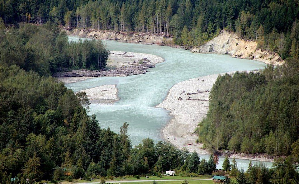
High snowpacks across the province have begun to result in spring flood warnings and high water in the Cariboo but so far Bella Coola hasn’t seen a dramatic increase in its rivers, yet.
“Rivers in the Bella Coola region typically reach snowmelt related peaks between early May and mid July,” said Jonathan Boyd, Hydrologist with the B.C. River Forecast Centre. “The rivers are starting to rise a little from the relatively warmer temperatures compared to recent weeks, but there is no sustained hot weather in the forecast. Therefore, there is little concern for flooding in the immediate future.”
Things are different in the Cariboo-Chilcotin. The River Forecast Centre upgraded its flood watch April 19 to encompass more areas in the Cariboo-Chilcotin Fraser Plateau.
READ MORE: Flood watch expanded to more areas in Cariboo-Chilcotin
Areas in the watch are tributary rivers and streams around Nazko, Chilako, Prince George, Williams Lake, Quesnel, Anahim Lake, Cache Creek and surrounding areas.
Snowmelt has begun across the region causing rivers and creeks to rise quickly.
READ MORE: Video/photos: Warm temperatures bring spring flooding to Cariboo region
Boyd also pointed out that, although the snowpack in the Central Coast is reading at 132 percent, that is based on only one site. Other regions have multiple sites and therefore are receiving more comprehensive data.
“The Snow Basin Index (SBI) of 132 percent for the Central Coast is based on only one snow measurement at the Automated Snow Weather Station 3C08P Burnt Bridge Creek,” Boyd explained. “Therefore, there is high uncertainty in the overall basin index. In contrast, the Peace region’s SBI of 120 percent is calculated from 18 snow measurement sites.”
Boyd said the centre models three rivers in the Bella Coola region on a daily basis (Monday to Friday – and on weekends during critical periods) using the CLEVER model. http://bcrfc.env.gov.bc.ca/freshet/map_clever.html.
The rivers are the Bella Coola, the Dean, and the Atarnko. Boyd said that this is the “best tool to use to get a heads up for when flows are expected to rise rapidly.”
For flood warnings and advisories residents can check the Warnings page: http://bcrfc.env.gov.bc.ca/warnings/index.htm