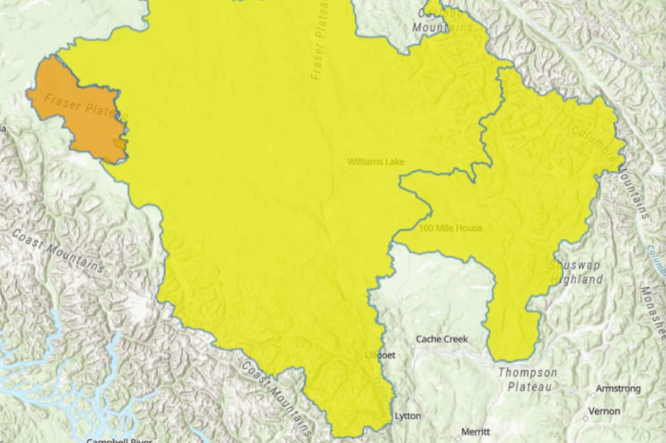
The provincial River Forecast Centre issued a high streamflow advisory the Cariboo Mountains and the North Thompson on June 7.
The advisory includes tributaries around Barriere and Clearwater as well as Quesnel River, Horsefly River and surrounding tributaries.
Rainfall and snowmelt across the region has led to on-going rises in rivers draining from the Cariboo Mountains.
Significant snowpack still remains in the mountains.
A snow monitoring location at Yanks Peak is at record snow pack for this time of year based on a 25-year monitoring record.
Mid-elevation snow monitoring sites at Barkerville and Boss Mountain Mine have indicated more advanced melt.
With the significant amount of snow still remaining, it may be one to two weeks, or more, before these rivers reach peak levels from snowmelt this season, said the forecast centre in their advisory.
Continued near-seasonal to below-seasonal temperatures are expected through this week, with continued moderate rates of snowmelt expected.
Unsettled weather is forecast to continue through this week, with showers mid-week and again over the weekend, bringing additional runoff.
Rivers are at or near the two-year to five-year return period levels on Tuesday morning.
Continued river rises are expected through this week. Some rivers, including the Horsefly River may reach 10-year return periods later in the week.
Other rivers, including the Quesnel River and North Thompson River are expected to rise to between the two-year and five-year return period, however flows above this are possible later in the week.
The public is advised to stay clear of the fast-flowing rivers and potentially unstable riverbanks during the high-streamflow period. Be prepared and know your hazards.
The River Forecast Centre continues to monitor the conditions and said it will provide updates as conditions warrant.
In this context, the statement said “a high streamflow advisory means that river levels are rising or expected to rise rapidly, but that no major flooding is expected. Minor flooding in low-lying areas is possible.”
Advisories can be upgraded or downgraded as conditions change.
Read more: PHOTOS: Fraser River high following night of rain in Cariboo Chilcotin
Read more: Flood watch for Dean River issued, could surpass 10-year flows
ruth.lloyd@wltribune.com
Like us on Facebook and follow us on Twitter